
Danube Delta
Tulcea County · 1 km from Tulcea
Europe's largest wetland, a biosphere reserve and UNESCO site: channels, lakes, reed beds and 365 bird species, from pelicans to egrets; visited by boat from Tulcea.
Tulcea is the county of the Danube Delta: upstream of the town the river splits into three arms – Chilia, Sulina and Sfântu Gheorghe – and from there to the sea stretches a world of channels, sandbanks and lakes, inscribed on the UNESCO World Heritage List. The rest of the county is hilly and dry, with the Măcin Mountains in the north-west, lakes Razim and Sinoe in the south and a legacy of ancient and medieval fortresses. The town of Tulcea, on the bank of the Danube, is the starting point for any trip into the Delta. What you can visit in Tulcea depends more on a boat than on a car.
The Danube Delta is explored from Tulcea, Murighiol, Crișan or Sfântu Gheorghe, along channels, among birds and Lipovan villages. At the end of the arms, Sulina Beach and Sfântu Gheorghe Beach are wide beaches where the Danube flows into the sea. On land, the Enisala Fortress keeps watch from its hill over Lake Razim, while Gura Portiței is a strip of sand between lagoon and sea, reached only by boat from Jurilovca.
30 results
Europe's largest wetland, a biosphere reserve and UNESCO site: channels, lakes, reed beds and 365 bird species, from pelicans to egrets; visited by boat from Tulcea.

A strict nature reserve in the heart of the Danube Delta: oaks more than 400 years old, including the Kneeling Oak, and the highest sand dunes in the delta, on the Caraorman sand bank.

The wild beach where the Sfântu Gheorghe branch meets the Black Sea: 30 km of fine sand, 2 km from a Delta village that can only be reached by water.

Romania's easternmost beach, where the Sulina branch meets the Black Sea: very fine alluvial sand, an unusually wide strip and water that stays shallow for tens of metres.
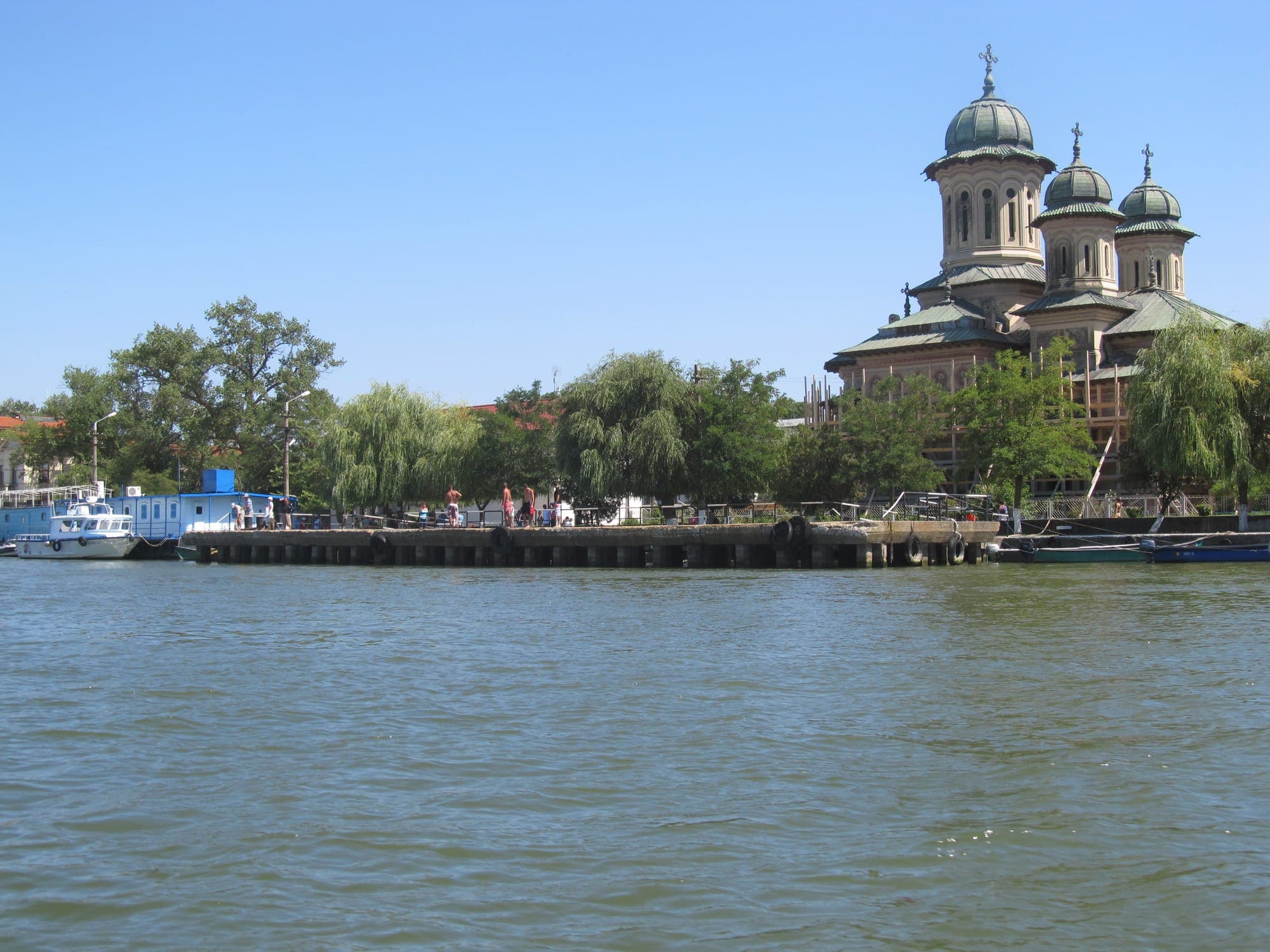
Romania's easternmost town, at the mouth of the Sulina arm, with no road to the rest of the country: a port with an international past, the Old Lighthouse, the European Commission of the Danube palace and the maritime cemetery.

The ruins of a 14th-century fortress, probably built by the Genoese on a limestone hill above lakes Razim and Babadag, with one of the widest views in Dobruja.
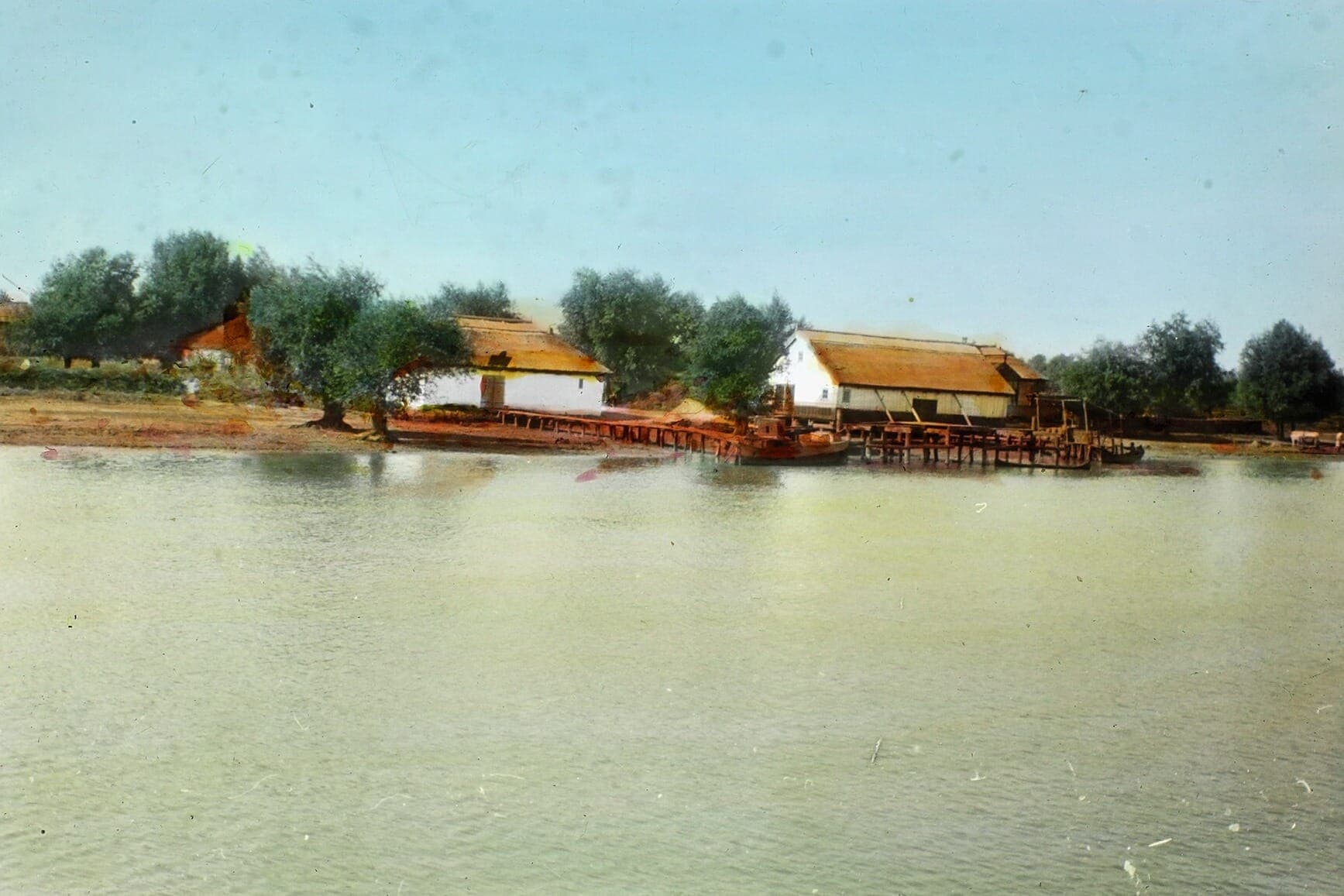
A Lipovan village in the north of the Danube Delta, at the end of the Navrom line on the Chilia arm, next to the Letea forest; a forced-labour colony for prisoners operated here under communism.

The ruins of ancient Troesmis near Turcoaia: the base of the Fifth Legion Macedonica, then two Late Roman fortresses on the high bank of the Danube. An undeveloped site with free access.

The ruins of a Roman and early Byzantine fortress near Murighiol, a Danube fleet station and bishop's seat, where the crypt of the martyrs Epictetus and Astion was found.

Romania's largest lake, a lagoon of about 415 km² south of the Danube Delta, with Lipovan fishing villages on its shores, protected islands and the ruins of Enisala and Argamum above the water.
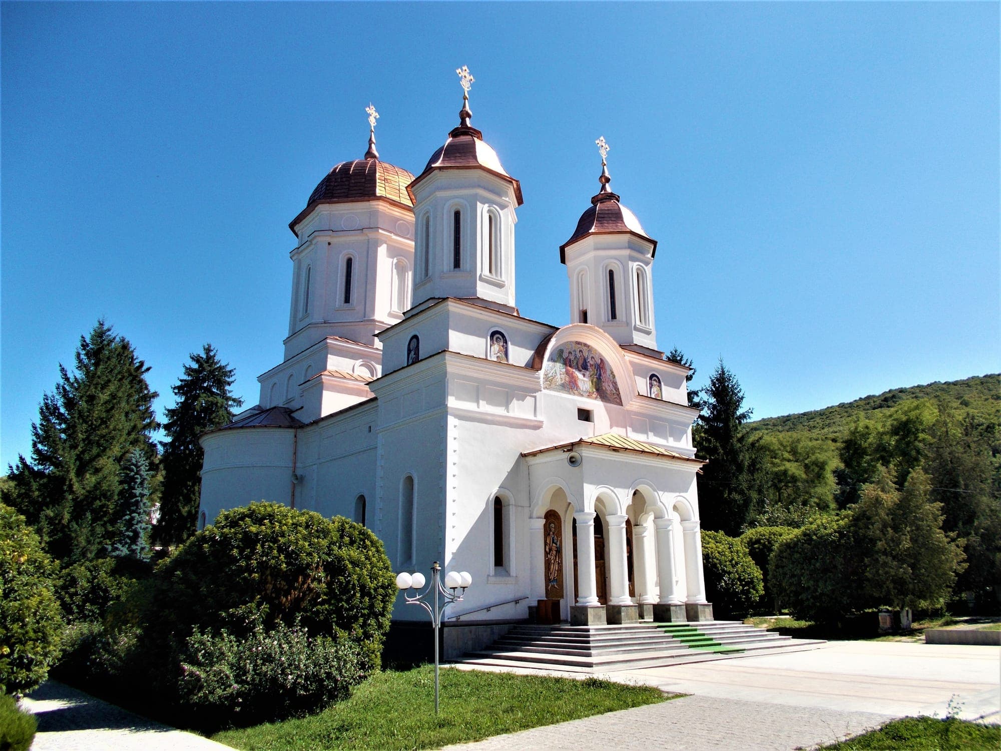
A monastery for monks hidden in a forest clearing in northern Dobruja, with a three-domed church, a 30 m bell tower and cells with timber balconies; it keeps the relics of the Niculițel martyrs.
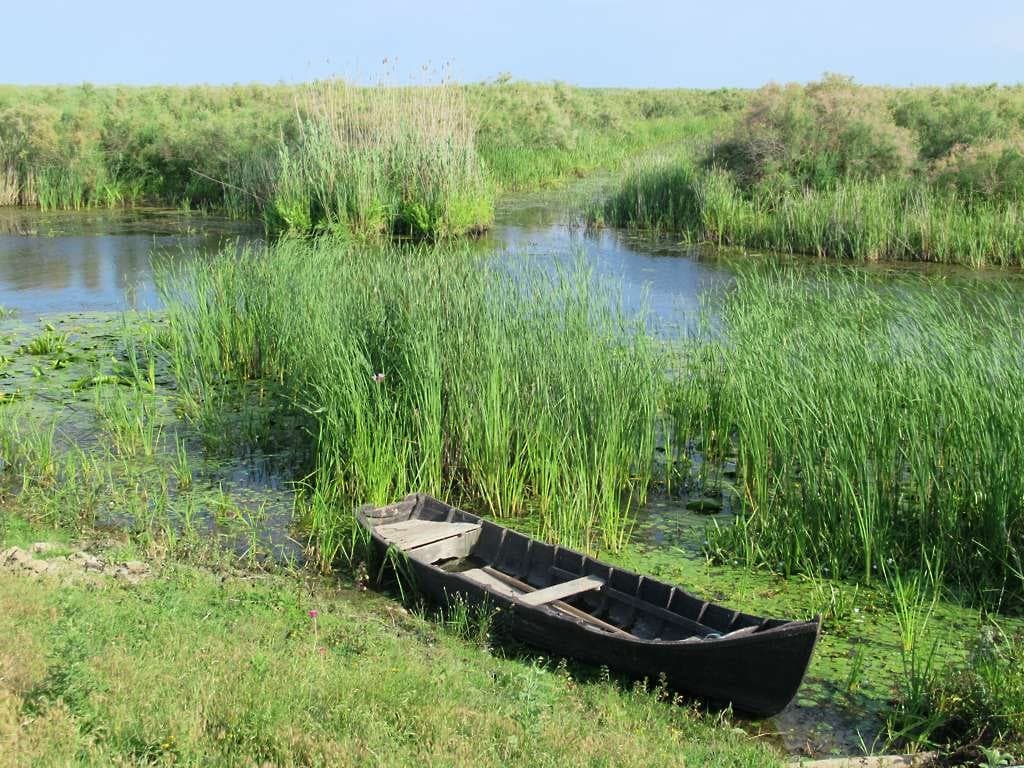
Fishing village on the Sulina branch in the middle of the Danube Delta, with no road: a call for the Navrom Delta ship, with an ARBDD information centre and the launches to Mila 23 and Caraorman.
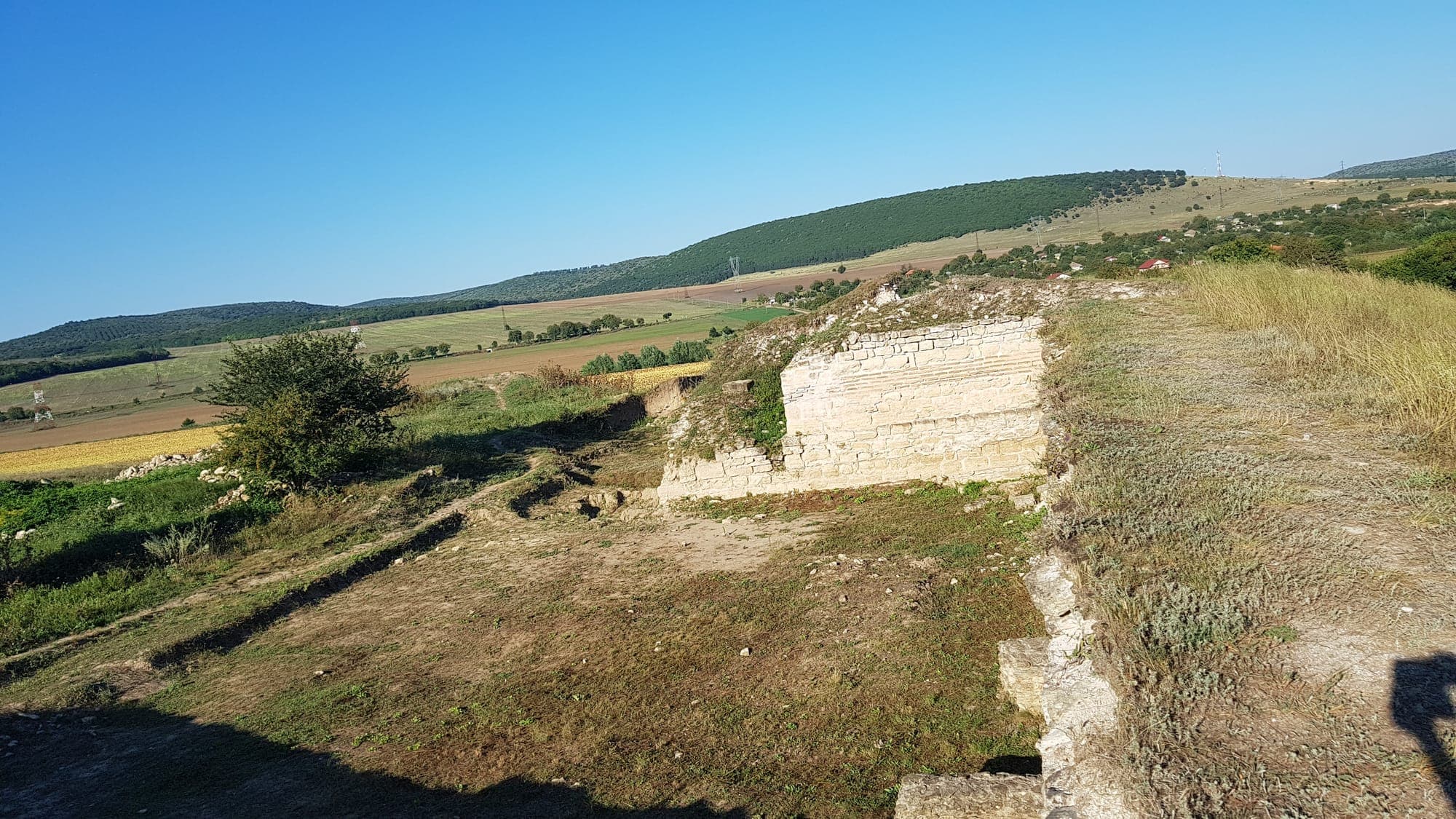
Roman and early Byzantine walls and towers on the edge of Slava Rusă, in an ancient town crossed by the Slava stream.

Romania's oldest mountains, Hercynian granite worn down to 467 m, with rocky ridges, steppe and Balkan woodland, land tortoises and hundreds of migrating birds of prey.

The ruins of the Roman and Byzantine fortress near Isaccea, main base of the Danube fleet Classis Flavia Moesica, with stone-and-brick walls uncovered on the banks of the Danube.